
Birdi vs DroneDeploy
Birdi is a unified geospatial data platform designed specifically for mid to large sized business. We are the new and modern alternative that combines intelligent file management with powerful workflows, collaborative tools and reporting outputs.
.png)
Why do customers choose Birdi over DroneDeploy?
DroneDeploy is a massive product, and it can do a lot. But it comes with a lot of features you don’t need, and an overwhelming amount of work to get employees feeling comfortable using it. Birdi is a modern, purpose-built alternative.
Flexible and agile

Great customer service

Built to solve business problems
Discover why Birdi is an ideal solution for mid to large businesses:
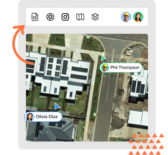
Unified aerial and ground data capture
Instead of geospatial data being spread across emails, USBs and folders, keep it all in the one centralized Birdi workspace. Visualize data on the map, assess images, request processing, determine progress, generate reports and more.
.png)
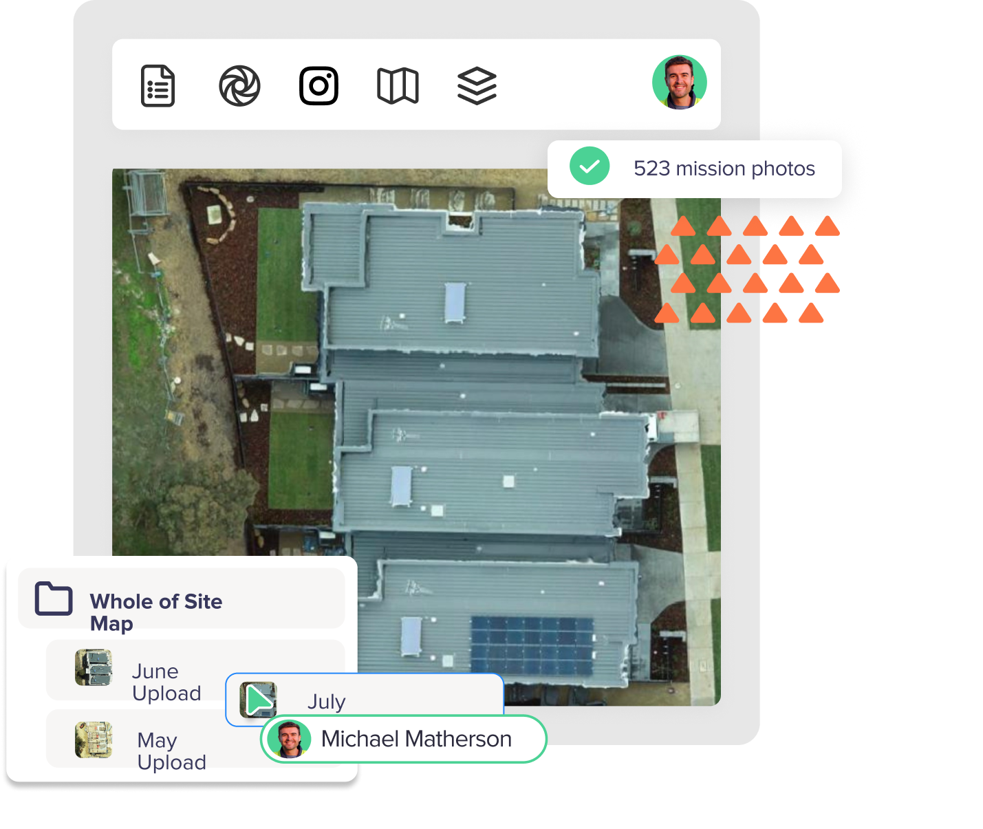
Seamless data visualization and processing
Visualize ground-based photography, drone images, videos, 360 degree panoramics, existing geoTIFFs and more in the Map View. Process your data into the outputs you need when you need them, such as:
- Orthophotos
- Digital Elevation Models
- 3D model Point Clouds
- Contours
- Textured Mesh
Share data and trigger workflows
Connect your employees and contractors to seamless workflows based on your geospatial data, with just a few clicks.
Mitigate compliance risk
With your sites and asset images captured and stored in the one place, easily retrieve historical data and records to mitigate potential compliance risks.
Scalable and agile
Birdi enables agile businesses to scale their geospatial as and when they need it. Upload, store, visualize and process data to match the way your business operates.
.png)

Stellar customer service
Birdi is with you every step of the way. From your first demo, to implementing Birdi in your business, to supporting your team.